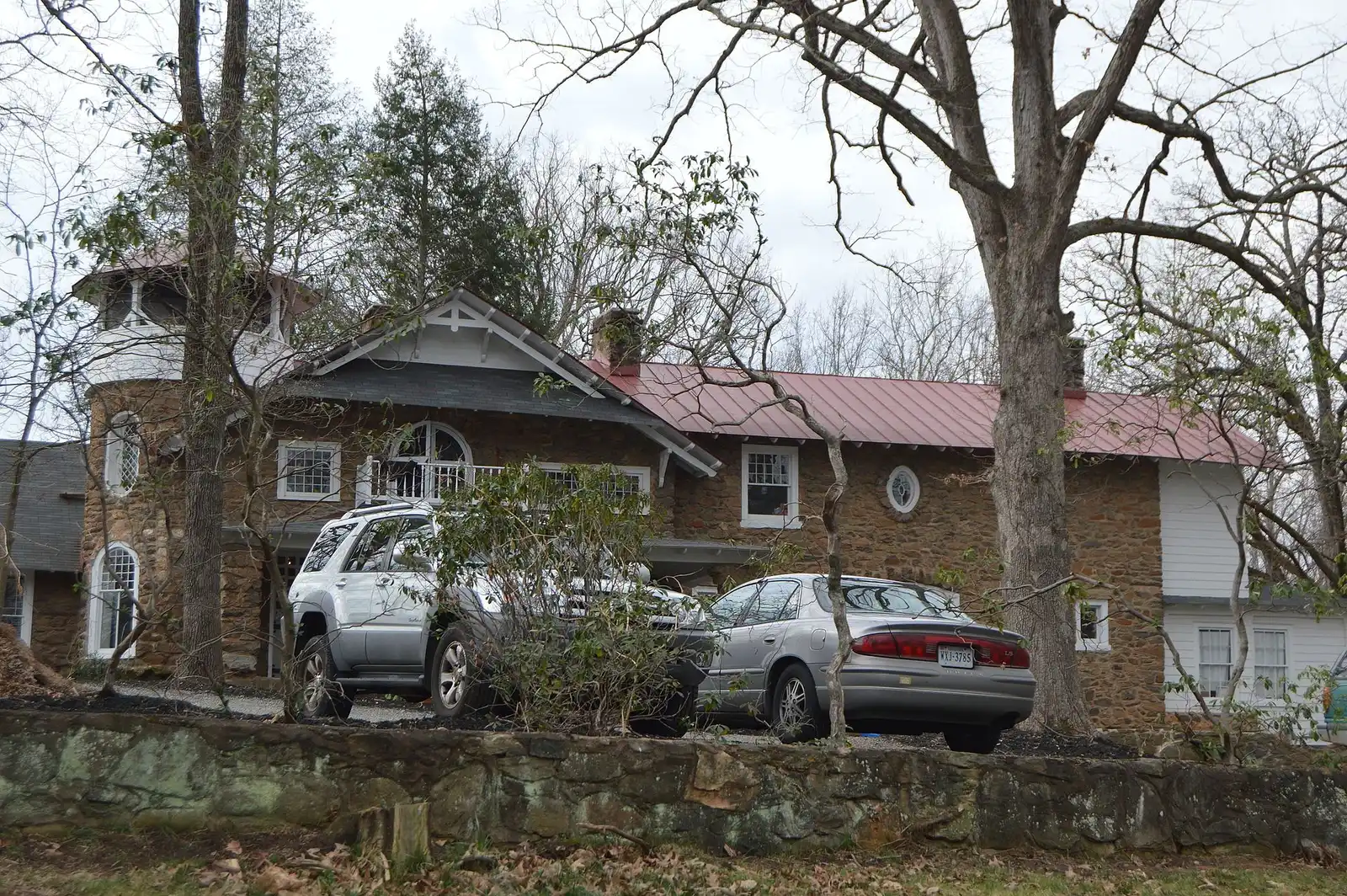
Fry's Spring, in ZIP 22903, holds Jackson-Via Elementary and Azalea Park. Zillow's typical 22903 home value was $529,260 in September 2026.
Last checked Oct. 19, 2026. Boundaries come from the City of Charlottesville’s Planning Neighborhoods map layer; school zones from the city’s elementary school zone layer and Charlottesville City Schools’ attendance zones page; home values from the Zillow Home Value Index (Zillow Research); parks from Charlottesville Parks and Recreation’s neighborhood parks page; bus routes from CAT’s route book; stores from OpenStreetMap (© OpenStreetMap contributors).
Fry’s Spring is the 590-acre neighborhood on the city’s southwest side, along Jefferson Park Avenue south of the University of Virginia. It is almost all in ZIP code 22903. Jackson-Via Elementary and Azalea Park, with the city’s fenced dog park, are inside it, and I-64 Exit 120 is near its southern edge.
What this means for you
- Zoned high school: Charlottesville High School, 1400 Melbourne Road (every city address)
- Typical home value, ZIP 22903: $529,260 in September 2026, according to Zillow
- Nearest I-64 exit: Exit 120 (Fifth Street), about 1.2 miles by road
- School zone questions: Charlottesville City Schools Student Services, 434-245-2405
Where it is
On the city’s planning neighborhood map, Fry’s Spring borders Jefferson Park Avenue to the north, Fifeville to the northeast, and Johnson Village and Ridge Street to the east, with the city limits to the south and west. Fifth Street SW forms part of its eastern edge and Cherry Avenue part of its northern edge. The main roads through it are Jefferson Park Avenue Extended, Old Lynchburg Road, Harris Road, Shamrock Road and Cleveland Avenue.
Schools
The city’s school zone map puts about 60% of the neighborhood in the Jackson-Via Elementary zone and about 39% in the Tall Oaks Elementary zone.
| School | Grades | Address | State report card |
|---|---|---|---|
| Jackson-Via Elementary | K-5 | 508 Harris Road | School Quality Profile |
| Tall Oaks Elementary (formerly Johnson) | K-5 | 1645 Cherry Ave. | School Quality Profile |
| Charlottesville Middle School | 6-8 | 1000 Cherry Ave. | School Quality Profile |
| Charlottesville High School | 9-12 | 1400 Melbourne Road | School Quality Profile |
All four are Fully Accredited for 2025-26. In the state’s latest School Performance and Support Framework ratings, Jackson-Via scored 81.26, Tall Oaks 83.99, the middle school 84.28 and the high school 83.43; all are rated Approaching Expectations. The division’s rezoning plan names no Fry’s Spring area among its moves, though it rezoned a few empty parcels in the Jackson-Via and Tall Oaks (Johnson) zones right away. Check one address on the interactive zone map and see our schools guide.
Home values
Zillow’s Home Value Index for ZIP 22903 was $529,260 in September 2026, up 1% from $524,021 in September 2025. The city as a whole was $511,398, up 1.1%. ZIP 22903 is large: it takes in the UVA area, the west side of the city and parts of Albemarle County, so it is only a broad guide. The index is a modeled typical value for the middle third of homes, not a sale price. See our home prices guide.
Parks and trails
- Azalea Park, 304 Old Lynchburg Road, 23 acres of level land at the southern edge of the city near I-64, with the city’s fenced off-leash dog area
- Longwood Park and the Fry’s Springs park parcel, both listed as neighborhood parks on the city’s park map
Most city parks are open 6 a.m. to 9 p.m. See our parks and trails guide and dog-friendly guide.
Getting around
Distances are measured on the road network from the middle of the neighborhood (OSRM routing on OpenStreetMap data); they are not drive times.
| To | Distance |
|---|---|
| I-64 Exit 120 (Fifth Street) | about 1.2 miles |
| I-64 Exit 118 (U.S. 29) | about 1.9 miles |
| City Hall and the Downtown Mall | about 2.7 miles |
| Charlottesville-Albemarle Airport (CHO) | about 10.8 miles |
Fare-free CAT routes serving the neighborhood, according to the route book:
- Route 4 (Cherry Ave/Harris Rd) on Harris Road, Jefferson Park Avenue, Cleveland Avenue and Cherry Avenue
- Route 2 (5th St Station) on Fifth Street SW and Old Lynchburg Road
- Route 6 (Ridge St/Prospect Ave) to Willoughby Square on Fifth Street SW
More in our getting around guide.
Groceries and everyday stores
- Food Lion, 1131 Fifth St. SW
- CVS Pharmacy, 1133 Fifth St. SW
- Wegmans, 100 Wegmans Way, at 5th Street Station just over the city line in Albemarle County
How to check an address
Search the parcel in the city’s GIS Viewer for zoning and the assessed value, then check the elementary school on the zone map. Homes just past the city limits share Charlottesville mailing addresses but are in Albemarle County and its schools. Our property tax guide has the city rate; all 19 city neighborhoods are on our neighborhoods guide.
Frequently asked questions
What elementary school serves Fry’s Spring in Charlottesville?
About 60% of the neighborhood by area is zoned for Jackson-Via Elementary, 508 Harris Road, which is inside it. About 39% is zoned for Tall Oaks Elementary (formerly Johnson). Check one address on the division’s zone map.
What ZIP code is Fry’s Spring in?
ZIP code 22903.
Where is the dog park in Fry’s Spring?
Azalea Park, 304 Old Lynchburg Road, has the city’s fenced off-leash dog area. The park covers 23 acres near I-64.
Is Fry’s Spring a good place to live?
That depends on the household. The facts: Fry’s Spring is a 590-acre city neighborhood with Azalea and Longwood parks, mostly zoned for Jackson-Via Elementary, Fully Accredited for 2025-26, and about 1.2 miles by road from I-64 Exit 120. Zillow’s typical value for ZIP 22903 was $529,260 in September 2026.
Have your say