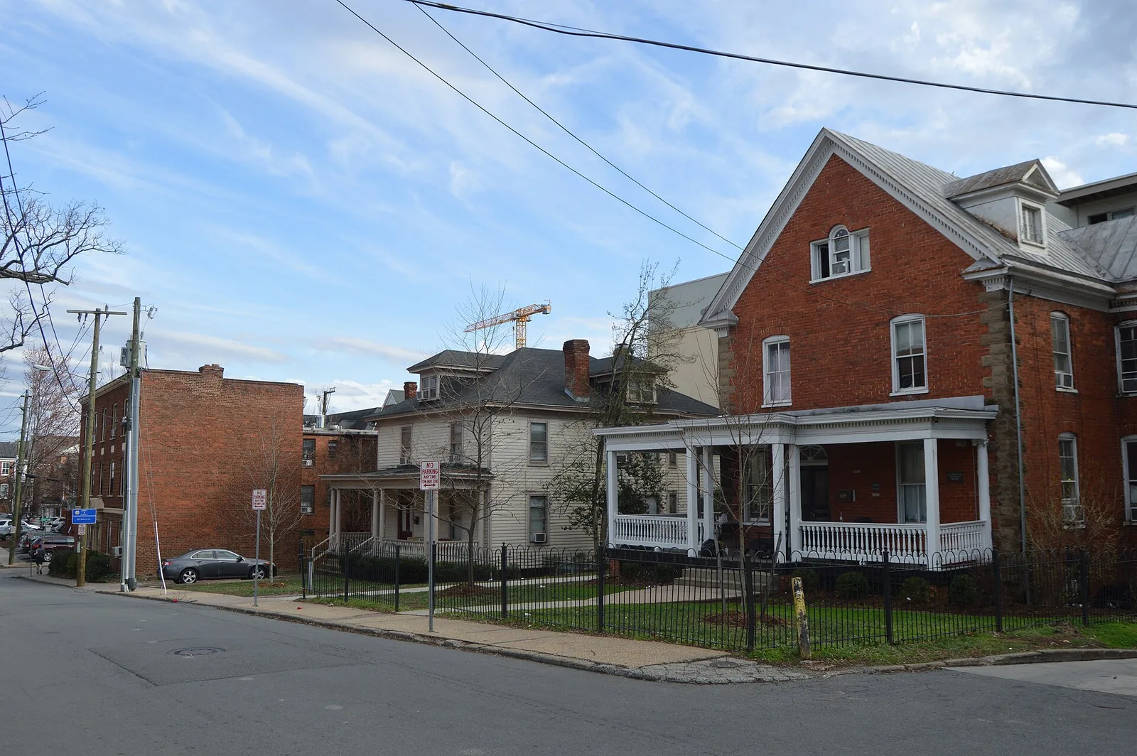
Venable, between UVA and Preston Avenue in ZIP 22903, is zoned for Trailblazer Elementary. Zillow's 22903 value was $529,260 in September 2026.
Last checked Oct. 19, 2026. Boundaries come from the City of Charlottesville’s Planning Neighborhoods map layer and historic districts from its design control and conservation district layers; school zones from the city’s elementary school zone layer and Charlottesville City Schools’ attendance zones page; home values from the Zillow Home Value Index (Zillow Research); bus routes from CAT’s route book; stores from OpenStreetMap (© OpenStreetMap contributors).
Venable is the 396-acre neighborhood between the University of Virginia and Preston Avenue, taking in Rugby Road, the Corner and the streets around Trailblazer Elementary. It is almost all in ZIP code 22903, all in one elementary zone, and about a third of it lies in city historic districts.
What this means for you
- Zoned high school: Charlottesville High School, 1400 Melbourne Road (every city address)
- Typical home value, ZIP 22903: $529,260 in September 2026, according to Zillow
- Nearest I-64 exit: Exit 120 (Fifth Street), about 2.8 miles; Exit 118 (U.S. 29) about 3
- Historic review and zoning: Neighborhood Development Services, 434-970-3995
Where it is
On the city’s planning neighborhood map, Venable borders the Barracks Road neighborhood and The Meadows to the north and northwest, Barracks/Rugby to the northeast, Rose Hill to the east, 10th & Page to the southeast and Lewis Mountain to the west. Emmet Street North forms much of its western edge, and Preston Avenue, Barracks Road, University Avenue and Grady Avenue form parts of the rest. Inside, the main streets are 14th Street NW, Rugby Road, Grady Avenue and Madison Avenue. OpenStreetMap places the Corner, the strip of shops on University Avenue across from the university, inside it.
Four city historic districts lie wholly or almost wholly in Venable: the Rugby Road-University Circle-Venable and Corner architectural design control districts, most of the Wertland Street district, and the Rugby Road Historic Conservation District. Together they cover about a third of the neighborhood. Exterior changes in them go through the city’s historic review.
Schools
The city’s school zone map puts the whole neighborhood in the Trailblazer Elementary zone, and the school is inside it.
| School | Grades | Address | State report card |
|---|---|---|---|
| Trailblazer Elementary (formerly Venable) | K-5 | 406 14th St. NW | School Quality Profile |
| Charlottesville Middle School | 6-8 | 1000 Cherry Ave. | School Quality Profile |
| Charlottesville High School | 9-12 | 1400 Melbourne Road | School Quality Profile |
All three are Fully Accredited for 2025-26. In the state’s latest School Performance and Support Framework ratings, Trailblazer scored 89.18, the middle school 84.28 and the high school 83.43; all three are rated Approaching Expectations. The division’s rezoning plan does not move Venable addresses, but it adds Rose Hill, Birdwood and Meadows addresses to the Trailblazer zone in August 2029 at the earliest. See the attendance zones page and our schools guide.
Home values
Zillow’s Home Value Index for ZIP 22903 was $529,260 in September 2026, up 1% from $524,021 a year earlier. The city as a whole was $511,398, up 1.1%. ZIP 22903 is much larger than Venable and includes parts of Albemarle County, so treat it as a broad guide. The index is a modeled typical value for mid-priced homes, not a sale price. See our home prices guide.
Parks and libraries
The city’s park map shows no park inside Venable. Nearby are Booker T. Washington Park in Rose Hill and the small Jenkins Park in the 10th & Page neighborhood. The Gordon Avenue Library, 1506 Gordon Ave., a Jefferson-Madison Regional Library branch, is inside the neighborhood. See our parks and trails guide.
Getting around
Distances are measured on the road network from the middle of the neighborhood (OSRM routing on OpenStreetMap data); they are not drive times.
| To | Distance |
|---|---|
| City Hall and the Downtown Mall | about 1.5 miles |
| I-64 Exit 120 (Fifth Street) | about 2.8 miles |
| I-64 Exit 118 (U.S. 29) | about 3 miles |
| Charlottesville-Albemarle Airport (CHO) | about 9 miles |
Fare-free CAT routes on Venable’s streets or edges, according to the route book:
- Route 7 (Emmet St/Seminole Trail) on Emmet Street
- Route 8 (Preston Ave/Emmet St) on Preston Avenue, Emmet Street and Barracks Road
- Route 9 (UVA Health/YMCA) on Grady Avenue and 10th Street
- Free trolley (Route 20) inbound along University Avenue to downtown
See our getting around guide.
Groceries and everyday stores
- CVS Pharmacy, 1417-25 University Ave., on the Corner
- CVS Pharmacy, 1170 Emmet St. N.
- Top Notch Pharmacy, on Preston Avenue
- Harris Teeter, 975 Emmet St. N., and Kroger, 1159 Emmet St. N., just across Emmet Street in the Barracks Road neighborhood
How to check an address
Search the parcel in the city’s GIS Viewer for its zoning, historic district and assessed value, then check the school on the division’s interactive zone map. Our property tax guide has the city rate; all 19 city neighborhoods are on our neighborhoods guide.
Frequently asked questions
What elementary school serves Venable in Charlottesville?
Trailblazer Elementary (formerly Venable Elementary), 406 14th St. NW, which is inside the neighborhood. The city’s zone map puts the whole neighborhood in its zone.
What ZIP code is the Venable neighborhood in?
ZIP code 22903.
Is the Corner in the Venable neighborhood?
Yes. OpenStreetMap places the Corner, the commercial strip on University Avenue across from UVA, inside Venable, and the city’s Corner architectural design control district lies entirely within it.
Is Venable a good place to live?
That depends on the household. The facts: Venable is a 396-acre city neighborhood next to UVA, with the Gordon Avenue Library and four city historic districts, zoned for Trailblazer Elementary, which is Fully Accredited for 2025-26. Zillow’s typical value for ZIP 22903 was $529,260 in September 2026.
Have your say