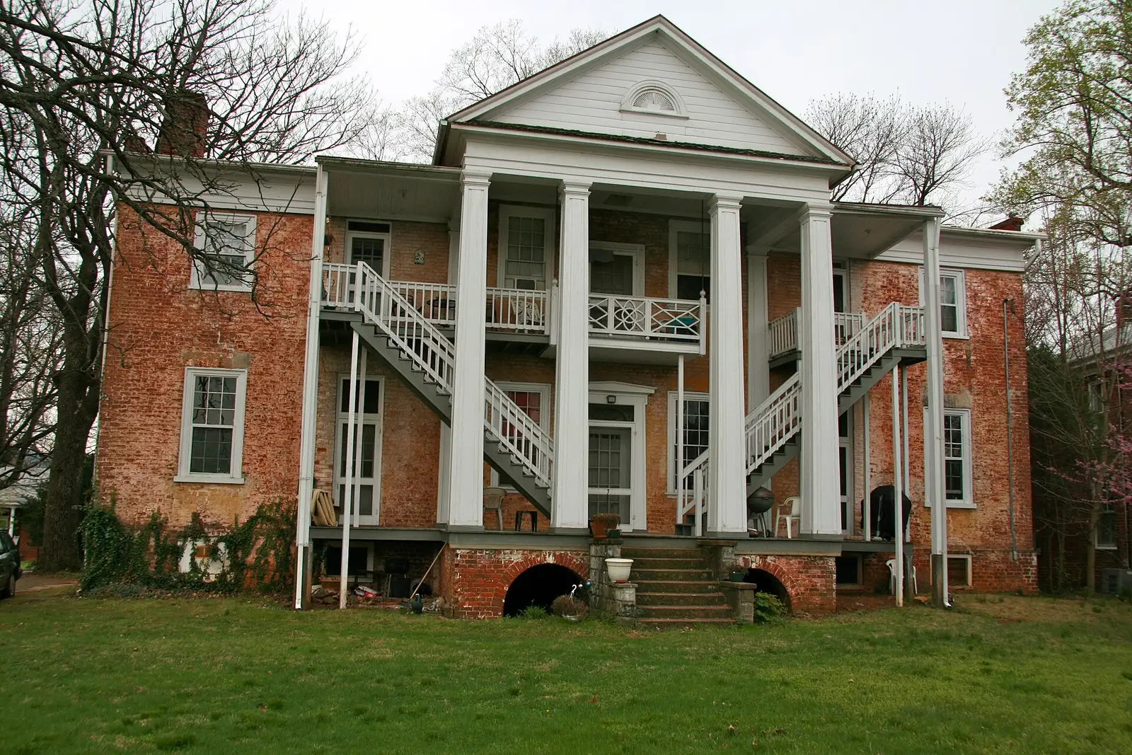
Belmont-Carlton, south of downtown in ZIP 22902, is mostly zoned for Summit Elementary. Zillow's typical 22902 value was $477,096 in September 2026.
Last checked Oct. 19, 2026. Boundaries come from the City of Charlottesville’s Planning Neighborhoods map layer; school zones from the city’s elementary school zone layer and Charlottesville City Schools’ attendance zones page; home values from the Zillow Home Value Index (Zillow Research); parks from Charlottesville Parks and Recreation’s neighborhood parks page; bus routes from CAT’s route book; stores from OpenStreetMap (© OpenStreetMap contributors).
Belmont-Carlton is the 552-acre neighborhood south of downtown, reaching from Water Street down Monticello Avenue toward Interstate 64. The city’s planning map joins two names, Belmont and Carlton. All of it is in ZIP code 22902, and most of it is zoned for Summit Elementary, which sits inside the neighborhood.
What this means for you
- Zoned high school: Charlottesville High School, 1400 Melbourne Road (every city address)
- Typical home value, ZIP 22902: $477,096 in September 2026, according to Zillow
- Nearest I-64 exit: Exit 121 (Route 20), about 0.7 mile by road
- School zone questions: Charlottesville City Schools Student Services, 434-245-2405
Where it is
On the city’s planning neighborhood map, Belmont-Carlton borders North Downtown to the north, Martha Jefferson and Woolen Mills to the northeast, and the Ridge Street neighborhood to the west, with the city limits to the south. Sixth Street SE forms much of its western edge and Franklin Street part of its eastern edge. The main roads through it are Monticello Avenue (Route 20), Avon Street, Elliott Avenue and Carlton Road; Hinton Avenue and Bolling Avenue also cross it. OpenStreetMap marks the place name Belmont in the middle of the neighborhood.
Schools
The city’s school zone map puts about 72% of the neighborhood in the Summit Elementary zone and about 28% in the Jackson-Via Elementary zone.
| School | Grades | Address | State report card |
|---|---|---|---|
| Summit Elementary (formerly Clark) | K-5 | 1000 Belmont Ave. | School Quality Profile |
| Jackson-Via Elementary | K-5 | 508 Harris Road | School Quality Profile |
| Charlottesville Middle School | 6-8 | 1000 Cherry Ave. | School Quality Profile |
| Charlottesville High School | 9-12 | 1400 Melbourne Road | School Quality Profile |
All four are Fully Accredited for 2025-26. In the state’s latest School Performance and Support Framework ratings, Summit scored 83.35 and is rated Meets Expectations; Jackson-Via (81.26), the middle school (84.28) and the high school (83.43) are rated Approaching Expectations. The division’s rezoning plan names no Belmont area among its moves, though it rezoned a few empty parcels in the Summit and Jackson-Via zones right away. Check one address on the interactive zone map and see our schools guide.
Home values
Zillow’s Home Value Index for ZIP 22902 was $477,096 in September 2026, up 0.4% from $475,212 in September 2025. The citywide figure was $511,398, up 1.1%. The same ZIP covers downtown, Martha Jefferson and Woolen Mills, so it is a broad guide to this neighborhood. The index is a modeled typical value for mid-priced homes, not a sale price. See our home prices guide.
Parks and trails
- Belmont Park, bounded by Stonehenge Avenue, Rialto Street and Druid Avenue. Its spray ground at 725 Stonehenge Ave. is closed until May 2027.
- Rives Park, 4.3 acres of flat open space with a view of Carter’s Mountain.
- Quarry Park, 9.1 acres on Quarry Road off Monticello Avenue at the southern edge of the city.
- The Moores Creek Trail runs along the creek at the neighborhood’s southern edge.
Most city parks are open 6 a.m. to 9 p.m. More in our parks and trails guide.
Getting around
Distances are measured on the road network from the middle of the neighborhood (OSRM routing on OpenStreetMap data); they are not drive times.
| To | Distance |
|---|---|
| I-64 Exit 121 (Route 20) | about 0.7 mile |
| City Hall and the Downtown Mall | about 1.2 miles |
| I-64 Exit 120 (Fifth Street) | about 2.9 miles |
| Charlottesville-Albemarle Airport (CHO) | about 11.1 miles |
Three fare-free CAT routes run through the neighborhood, according to the route book:
- Route 3 (Southwood/Belmont) on Avon Street, Hinton Avenue, Carlton Avenue, Rives Street, Monticello Road, Stonehenge Avenue and Druid Avenue
- Route 1 (PVCC/Woolen Mills) on Monticello Avenue, Carlton Road and Quarry Road
- Route 2 (5th St Station) on Avon Street
All three end at the Downtown Transit Station. See our getting around guide.
Groceries and everyday stores
- La Guadalupana Mexican Grocery, on Carlton Road
- Timberlake’s Drug Store, 322 E. Main St., and CVS Pharmacy, 208 E. Main St., on the Downtown Mall just north of the neighborhood
OpenStreetMap lists no full-size supermarket inside the neighborhood.
How to check an address
Search the parcel in the city’s GIS Viewer for zoning and the assessed value, then check the elementary school on the zone map. Our property tax guide has the city rate, and our neighborhoods guide maps all 19 city neighborhoods.
Frequently asked questions
What elementary school serves Belmont in Charlottesville?
Most of the Belmont-Carlton planning neighborhood, about 72% by area, is zoned for Summit Elementary (formerly Clark), which is inside the neighborhood at 1000 Belmont Ave. The rest is zoned for Jackson-Via Elementary.
What ZIP code is Belmont, Charlottesville in?
ZIP code 22902.
How far is Belmont from the Downtown Mall?
About 1.2 miles by road from the middle of the neighborhood to City Hall on the Downtown Mall. CAT’s fare-free Route 3 (Southwood/Belmont) runs between Belmont and the Downtown Transit Station.
Is Belmont a good place to live?
That depends on the household. The facts: Belmont-Carlton is a 552-acre city neighborhood with Belmont, Rives and Quarry parks, mostly zoned for Summit Elementary, which is Fully Accredited for 2025-26 and rated Meets Expectations in the state’s latest ratings.
Have your say