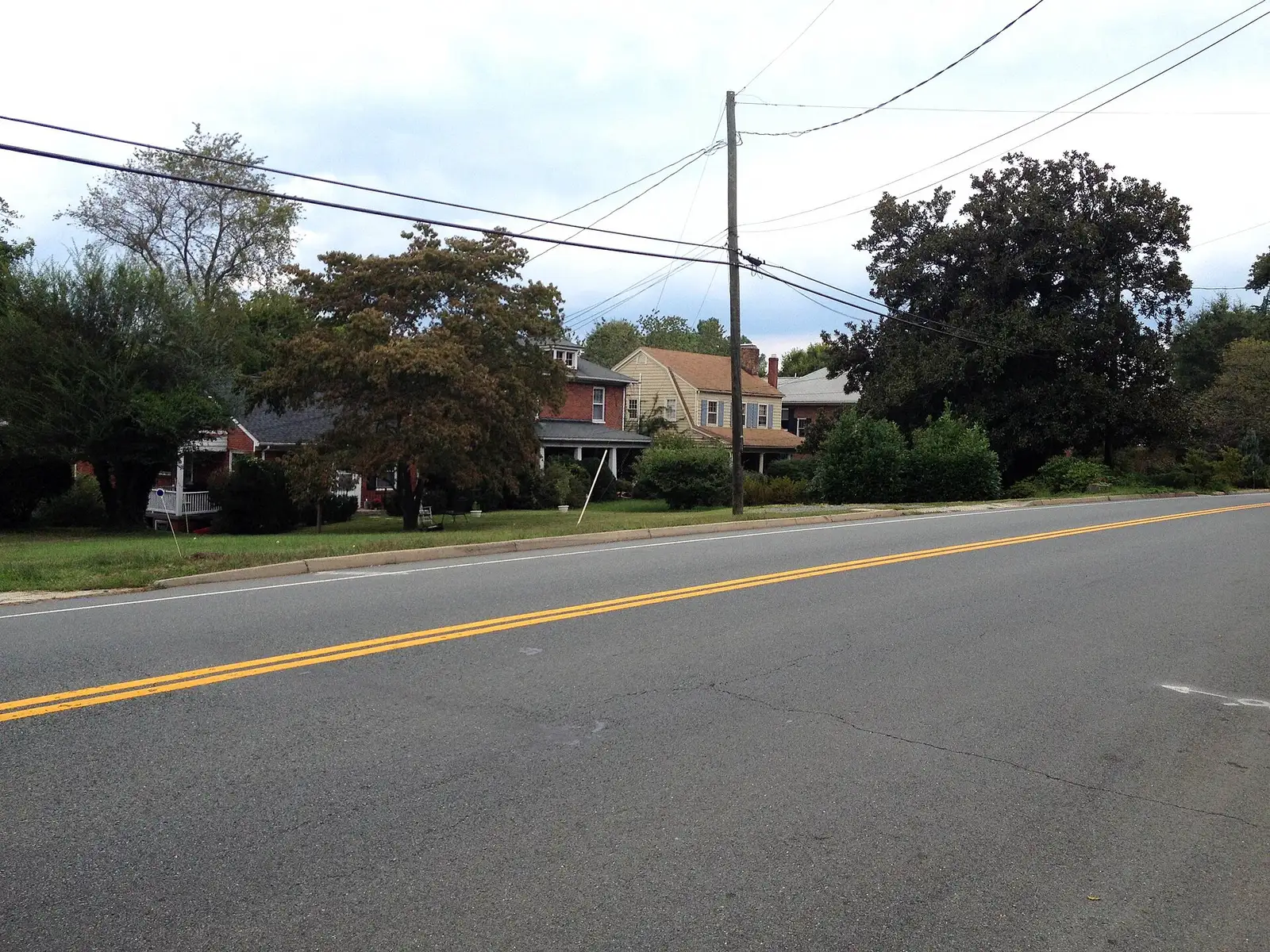
Martha Jefferson lies just east of downtown in ZIP 22902, zoned for Sunrise Elementary. Zillow's typical 22902 value was $477,096 in September 2026.
Last checked Oct. 19, 2026. Boundaries come from the City of Charlottesville’s Planning Neighborhoods map layer; school zones from the city’s elementary school zone layer and Charlottesville City Schools’ attendance zones page; home values from the Zillow Home Value Index (Zillow Research); bus routes from Charlottesville Area Transit’s route book; stores from OpenStreetMap (© OpenStreetMap contributors).
Martha Jefferson is the 266-acre neighborhood immediately east of downtown, between the Downtown Mall and the Woolen Mills area. It is entirely in ZIP code 22902 and entirely in the Sunrise Elementary zone, and part of it is a city historic conservation district.
What this means for you
- Zoned high school: Charlottesville High School, 1400 Melbourne Road (every city address)
- Typical home value, ZIP 22902: $477,096 in September 2026, according to Zillow
- Nearest I-64 exit: Exit 121 (Route 20), about 1.7 miles by road
- School zone questions: Charlottesville City Schools Student Services, 434-245-2405
Where it is
On the city’s planning neighborhood map, Martha Jefferson borders North Downtown to the northwest, Locust Grove to the northeast, Woolen Mills to the southeast and Belmont-Carlton to the southwest. Meade Avenue forms much of its eastern edge and Ninth Street NE part of its western edge. Locust Avenue, East High Street (U.S. 250 Business and Route 20), East Market Street and 10th Street NE run through it.
The city’s Martha Jefferson Historic Conservation District covers about a fifth of the neighborhood. Almost all of that district lies inside these boundaries. Exterior changes to buildings in it go through the city’s historic review; call Neighborhood Development Services zoning staff at 434-970-3995 before you plan work.
Schools
The city’s school zone map puts the whole neighborhood in the Sunrise Elementary zone. The school itself sits inside the neighborhood, on Long Street.
| School | Grades | Address | State report card |
|---|---|---|---|
| Sunrise Elementary (formerly Burnley-Moran) | K-5 | 1300 Long St. | School Quality Profile |
| Charlottesville Middle School | 6-8 | 1000 Cherry Ave. | School Quality Profile |
| Charlottesville High School | 9-12 | 1400 Melbourne Road | School Quality Profile |
All three schools are Fully Accredited for 2025-26. In the state’s latest School Performance and Support Framework ratings, Sunrise scored 97.63 and is rated Distinguished; the middle school (84.28) and the high school (83.43) are rated Approaching Expectations. The division’s rezoning plan, which takes effect in stages from August 2027, does not move this neighborhood. Confirm one address on the division’s interactive zone map and see our schools guide.
Home values
There is no Zillow figure for the neighborhood itself. For ZIP 22902, Zillow’s Home Value Index was $477,096 in September 2026, up 0.4% from $475,212 a year earlier. The city as a whole stood at $511,398, up 1.1%. The ZIP also covers downtown, Belmont and Woolen Mills. Zillow’s index is a modeled typical value for mid-priced homes, not a sale price. Our home prices guide has the longer trend.
Parks and trails
The city’s park map shows no park inside the planning neighborhood. The nearest are:
- Meade Park, 5.2 acres at Meade Avenue and Chesapeake Street, just across Meade Avenue in Woolen Mills
- Northeast Park, 4.8 acres at Sheridan Avenue and Calhoun Street in Locust Grove
- Court Square Park and McGuffey Park in North Downtown
Hours and rules are in our parks and trails guide.
Getting around
Distances are measured on the road network from the middle of the neighborhood (OSRM routing on OpenStreetMap data). They are distances, not drive times.
| To | Distance |
|---|---|
| City Hall and the Downtown Mall | about 0.6 mile |
| I-64 Exit 121 (Route 20) | about 1.7 miles |
| I-64 Exit 124 (U.S. 250) | about 2.4 miles |
| Charlottesville-Albemarle Airport (CHO) | about 10.2 miles |
Three fare-free CAT routes serve the area, according to CAT’s route book: Route 1 (PVCC/Woolen Mills) on Meade Avenue and Little High Street, Route 10 (Pantops) on High Street toward the Free Bridge, and Route 11 (Locust Ave/Rio Rd) on Locust Avenue. More in our getting around guide.
Groceries and everyday stores
OpenStreetMap lists no supermarket inside the neighborhood. Nearby:
- CVS Pharmacy, 1341 Long St., at the neighborhood’s northern edge
- Timberlake’s Drug Store, 322 E. Main St., and CVS Pharmacy, 208 E. Main St., on the Downtown Mall
- La Guadalupana Mexican Grocery, on Carlton Road in Belmont-Carlton
- Food Lion, Pantops Center, across the Rivanna River in Albemarle County
How to check an address
Look up the parcel in the city’s GIS Viewer for its zoning, historic district and assessed value, then check the school zone map. Our property tax guide has the city rate. All 19 city neighborhoods are on our neighborhoods guide.
Frequently asked questions
What school zone is the Martha Jefferson neighborhood in?
The whole planning neighborhood is zoned for Sunrise Elementary (formerly Burnley-Moran) at 1300 Long St., then Charlottesville Middle School and Charlottesville High School.
What ZIP code is Martha Jefferson in Charlottesville?
ZIP code 22902, the same as downtown, Belmont and Woolen Mills.
How far is Martha Jefferson from the Downtown Mall?
About 0.6 mile by road from the middle of the neighborhood to City Hall on East Main Street, which sits on the Downtown Mall.
Is Martha Jefferson a historic district?
Part of it is. About a fifth of the planning neighborhood lies in the city’s Martha Jefferson Historic Conservation District, where exterior changes go through the city’s historic review.
Have your say